
Biodiversity Assesment in Pulapis
Tanggal : 29 April 2026
The Biodiversity Assessment in the Pulapis region aims to evaluate the ecological condition, species diversity, and conservation value of tropical peatland and wetland ecosystems within the study area. This assessment is designed to provide a comprehensive baseline of biodiversity as a foundation for conservation planning, sustainable land management, and potential integration with nature-based solutions, including carbon and ecosystem restoration initiatives.
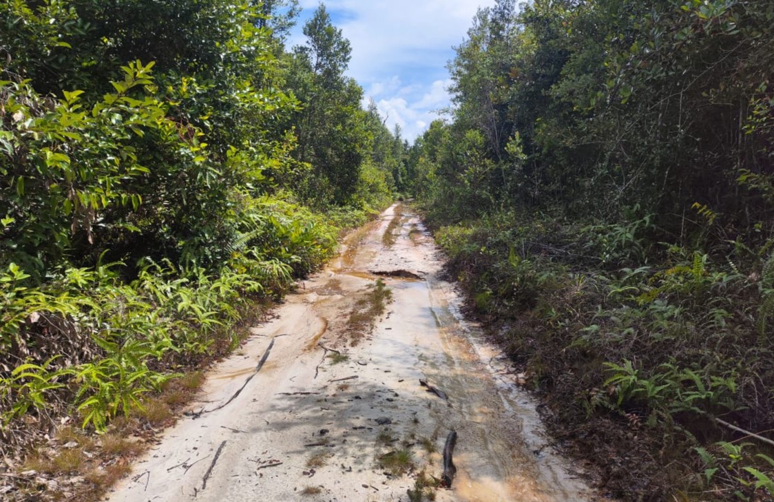
The study area is characterized by extensive peat swamp forests, seasonally inundated wetlands, and areas influenced by past land-use changes, including drainage and degradation. These landscapes support a range of habitat types, from relatively intact forest stands to secondary growth and degraded peatlands, creating a heterogeneous environment that influences species distribution and ecological dynamics.
The assessment encompasses several key components: (1) vegetation analysis to determine species composition, forest structure, and regeneration status; (2) fauna surveys focusing on key taxonomic groups such as mammals, birds, herpetofauna, and selected invertebrates; (3) habitat assessment to evaluate ecosystem condition, fragmentation, and disturbance levels; and (4) spatial analysis to map biodiversity patterns and identify priority conservation areas.
Flora assessment includes systematic plot-based inventories to document species richness, diversity indices, and vegetation stratification (seedlings, saplings, poles, and mature trees). Special attention is given to peatland-adapted species, endemic taxa, and species with significant ecological or conservation roles. These data are used to assess forest integrity, regeneration capacity, and the overall resilience of the ecosystem.
Fauna assessment focuses on indicator and conservation-relevant species, including those sensitive to habitat disturbance. Methods may include line transects, camera trapping, point counts for avifauna, and opportunistic observations. The presence, abundance, and distribution of fauna provide critical insights into habitat quality, ecological connectivity, and ecosystem health.
The study also aims to identify areas of High Conservation Value (HCV) and, where relevant, High Carbon Stock (HCS), by integrating biodiversity data with land-use and ecological information. This approach supports the identification of priority areas for protection, restoration, and sustainable management.
In addition, the assessment considers anthropogenic pressures such as land conversion, fire, illegal resource extraction, and hydrological alteration, which may impact biodiversity. Understanding these threats is essential for developing targeted conservation strategies and management recommendations.
The results of this biodiversity assessment are expected to provide a robust scientific basis for decision-making, supporting conservation planning, landscape restoration, and the development of sustainable, biodiversity-friendly land-use practices in the Pulapis region.